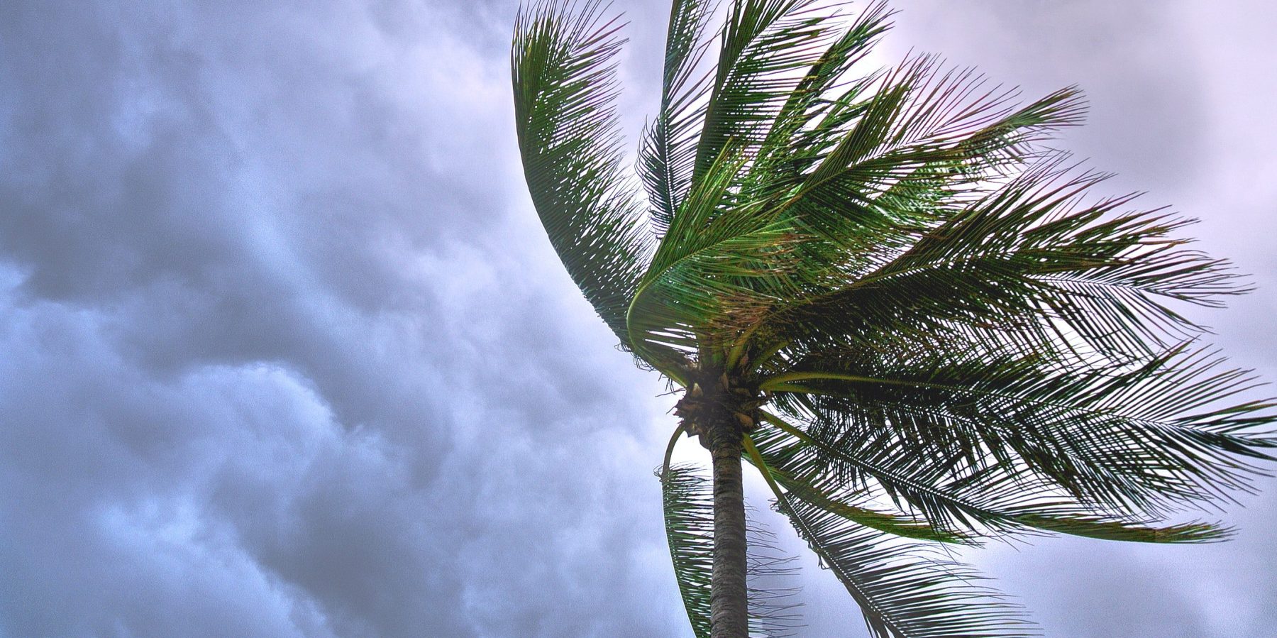
A severe weather warning for damaging winds is current for people in the Snowy Mountains and parts of the South Coast, Illawarra, Southern Tablelands, ACT and South West Slopes Forecast Districts.
An approaching cold front is causing a vigorous west to northwesterly flow across south-eastern New South Wales during today (Monday October 30).
For SOUTHEASTERN AREAS below 1900 metres: Damaging wind gusts in excess of 90 km/h are possible in the Snowy Mountains district from mid-morning today, before extending to parts of the South Coast and Illawarra during the afternoon.
For ALPINE PEAKS above 1900 metres: Damaging winds averaging 80 to 90 km/h with peak gusts in excess of 125 km/h are possible for parts of the Snowy Mountains above 1900 m during this morning.
Locations which may be affected include Braidwood, Goulburn, Cooma, Bombala, Charlotte Pass, Thredbo, Bredbo, Adaminaby and Nimmitabel.
There is also a Warning to Sheep Graziers current for the Southern Tablelands and Snowy Mountains forecast districts today. And a Strong Marine Wind Warning is in effect along the Sydney, Illawarra, Batemans and Eden Coast today.
Winds are forecast to ease below warning thresholds during the evening.
The State Emergency Service advises that people should:
* Move vehicles under cover or away from trees.
* Secure or put away loose items around your house, yard and balcony.
* Keep at least 8 metres away from fallen power lines or objects that may be energised, such as fences.
* Trees that have been damaged by fire are likely to be more unstable and more likely to fall.
* Report fallen power lines to either Ausgrid (131 388), Endeavour Energy (131 003), Essential Energy (132 080) or Evoenergy (131 093) as shown on your power bill.
* Stay vigilant and monitor conditions. Note that the landscape may have changed following bushfires.
* For emergency help in floods and storms, ring your local SES Unit on 132 500.

Meantime, the NSW Rural Fire Service is advising people on the South Coast, take action now to ensure properties are fire ready.
There’s a HIGH fire danger current for the Far South Coast and Snowy Mountains today, with an EXTREME fire danger rating in the Shoalhaven and Southern Rangers.
A Fire Weather Warning is current for the Greater Sydney Region, Illawarra/Shoalhaven, Southern Ranges, Central Ranges, North Western, Upper Central West Plains and Lower Central West Plains fire weather districts.
The mercury is tipped to reach 34 in Batemans Bay and 30 in Narooma and Bega today.
Chris Anderson from the Far South Coast RFS said locals need to keep bushfire safety front of mind, as we head into the warmer months, especially with the Bureau of Meteorology announcing El Nino will bring more hot and dry conditions this spring and summer.
“Please check your bushfire survival plan and ensure that your property is ready,” Anderson said.
Fire Permits for the Far South Coast are suspended and will remain so until 11:59pm Tuesday (October 31).
Images: Photo by Suparerg Suksai via Pexels, NSW RFS